Short Range-
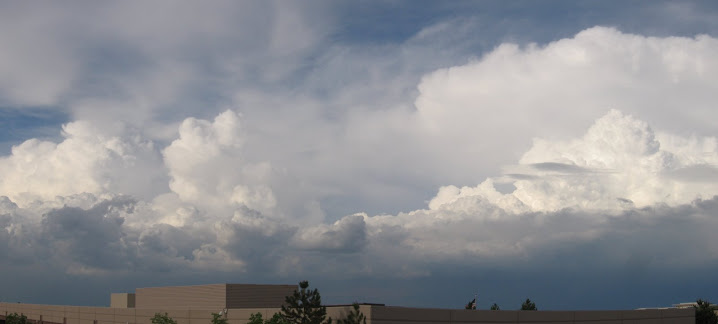
Some weather moving through the Denver area tonight. Cold front currently located at this hour across northern CO with surface Low pressure in SE CO giving N to NW winds across Metro area tonight. Frontal passage expected before midnight tonight with increasing clouds over night along with stronger winds during passage. Early morning cool rain showers expected along with strong N winds lasting through morning hrs with partial cloud clearing by late afternoon. Strong surface High pressure to our N will push surface Low out east of CO and gradually clear through the day.
Long Range-
Looking into the rest of the week, this weak system will exit and be replaced by High pressure which will influence a NW wind and a fairly mild end of the week. A small frontal system will remain to our north as a very strong High pressure will remain over Mexico for Friday afternoon and Saturday. Sunday afternoon the winds will pick up with a stronger pressure gradient in place ahead of the next system to move in for Monday. Frontal passage appears to be around mid-day on Monday with post frontal precipitation in the form of snow Monday evening, but only light accumulations with this system. More details to come...
Full-Up
12 years ago


No comments:
Post a Comment