Short Range-
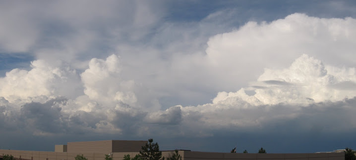
Should be a nice finish to our week with moderate temperatures under NW flow. Some moisture moves in at the mid levels giving a chance for some cloud development Saturday afternoon. We will be dominated by NW flow for the remaining part of the weekend acting to warm and dry the low level atmosphere. Monday returns with changing W to SW flow in advance of a major trough of Low pressure to move through on Tuesday.
Long Range-
Long range models are suggesting a major storm system to move through Tuesday bringing snow and some cold air to last through the week. A low pressure is expected to setup in W Kansas and move slightly south while losing strength. Frontal passage (FROPA) appears to be Tuesday morning with snow expected through the day on Tuesday and into Wednesday morning before the system ejects Eastward on Wednesday leaving very cold air in place under a high pressure. The position of the surface Low is favorable for upslope flow giving enhanced snow accumulations. Accumulations right now appear to be 3-4 inches but depend on the dynamics of the system. Jet stream is placing a decaying 100knot jet streak over southern CO which will enhance system dynamics and help drive the upslope flow even more. We'll keep watching the models to see more details as the system approaches. Stay tuned...
Full-Up
12 years ago


No comments:
Post a Comment